Where A Little Patience Really Matters
While most road trips usually include miles of paved road, highway stops, and a loose plan that comes together as you go, it can be boring for the more adrenaline-focused adventurer. The routes below need more than a touch of wanderlust. You’ll want a capable vehicle, a full-size spare, recovery gear, and enough flexibility to deal with bad weather, rough roads, or a sudden closure. The reward is getting to see places most drivers never reach. These 20 trips offer real challenges, big views, and plenty of reasons to slow down and enjoy the drive.
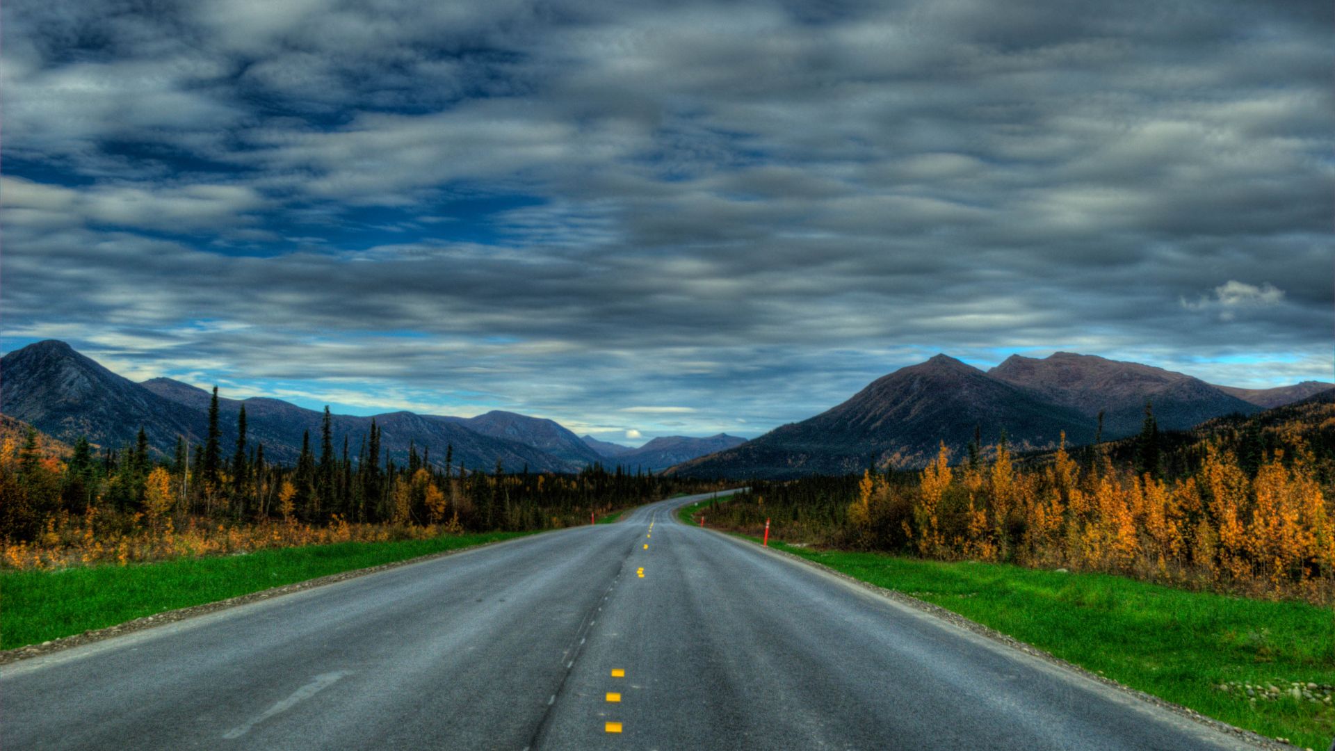
1. The Dalton Highway, Alaska
The Dalton Highway runs 414 miles from Livengood to Deadhorse in northern Alaska, and much of it is gravel. Often used for bigger trucks, service stops are spread far apart, and the weather can change quickly. You’ll definitely need solid supplies, good tires, and plenty of patience before heading north.
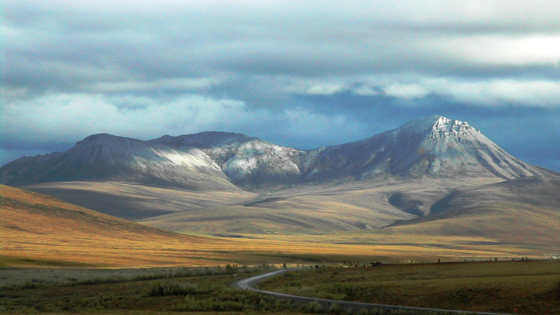
2. The Dempster Highway, Canada
The Dempster Highway heads north through the Yukon toward Inuvik, passing tundra, mountains, and long stretches of gravel. You’ll want extra fuel, food, emergency gear, and spare tires in the car, especially if the weather turns on you.
 PierreWiki at English Wikipedia on Wikimedia
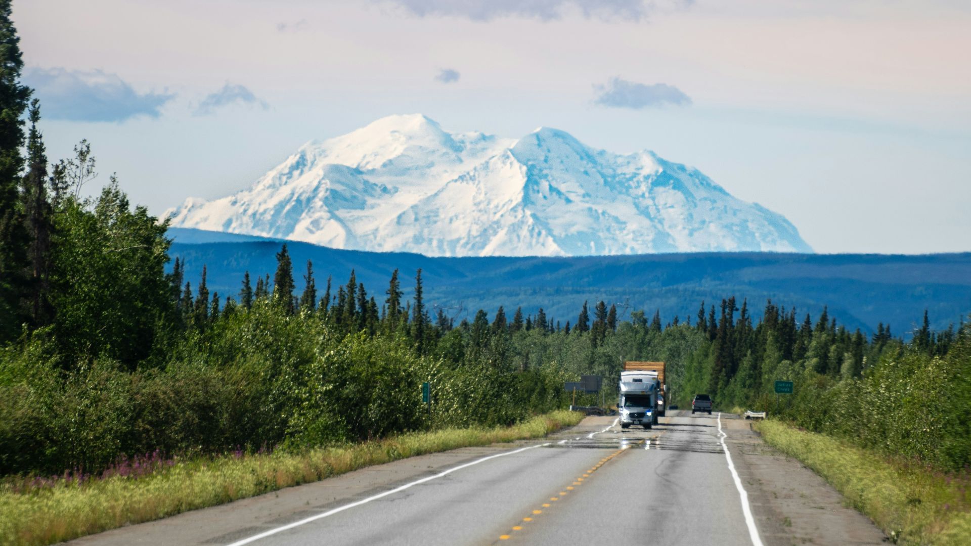
3. The Denali Highway, Alaska
The 135-mile Denali Highway connects Paxson and Cantwell across a quiet, high-elevation part of this northern state. It’s open seasonally and can be quite rough in spots. That said, it has very little traffic, which makes it a great choice for drivers who don’t mind taking their time and enjoying the open views.
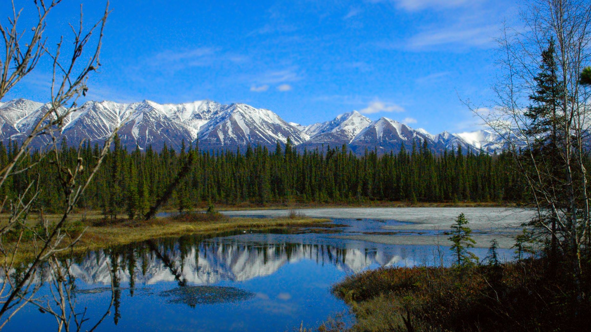
4. The McCarthy Road, Alaska
This 60-mile gravel route follows a historic railroad corridor from Chitina toward McCarthy. You’ll deal with potholes, soft shoulders, rough road surfaces, and limited services, although the views of the Wrangell Mountains give you plenty to look at while you take it slow.
5. White Rim Road, Utah
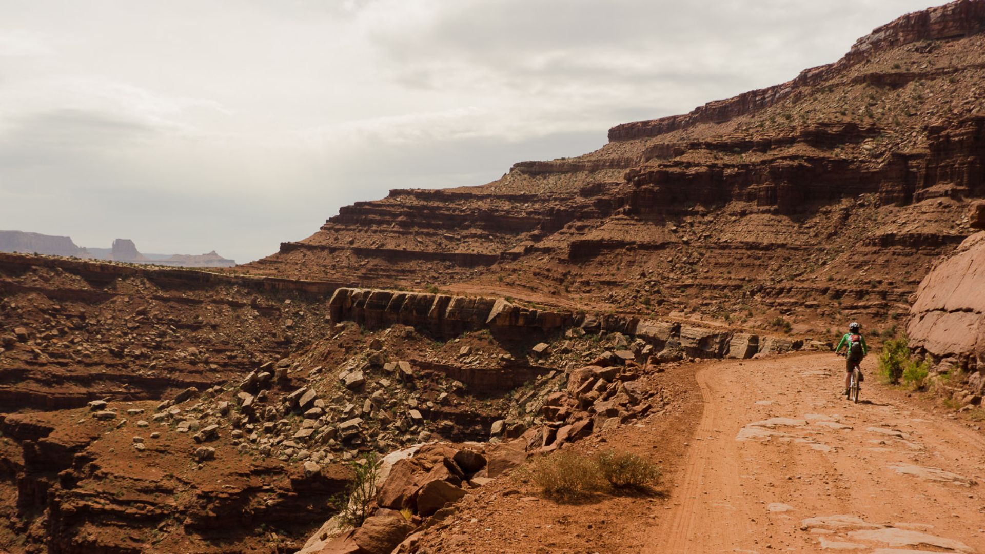
White Rim Road runs below a huge mesa through slickrock, deep sand, steep turns, and long rocky sections. You’ll need a high-clearance four-wheel-drive vehicle with low range and a permit, so this is a drive to plan well before you’re standing at the trailhead.
6. Racetrack Road, Death Valley, California
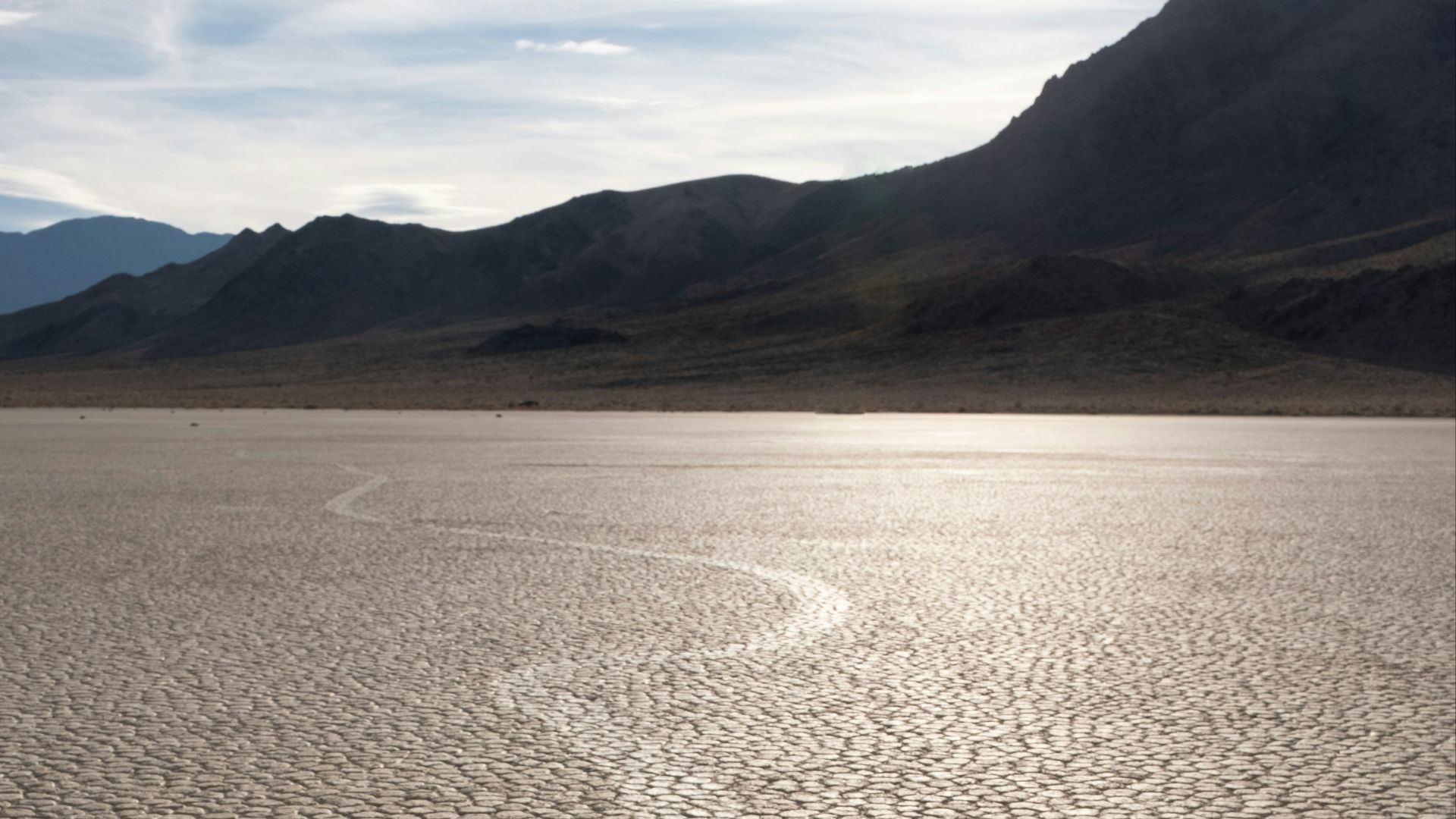
The road to Racetrack Playa is remote, rough, and tough on tires, with no cell service in the area. High clearance, strong tires, extra water, and plenty of fuel are all part of the plan before you set off toward the dry lakebed and its well-known moving rocks.
7. Iceland’s F-Roads
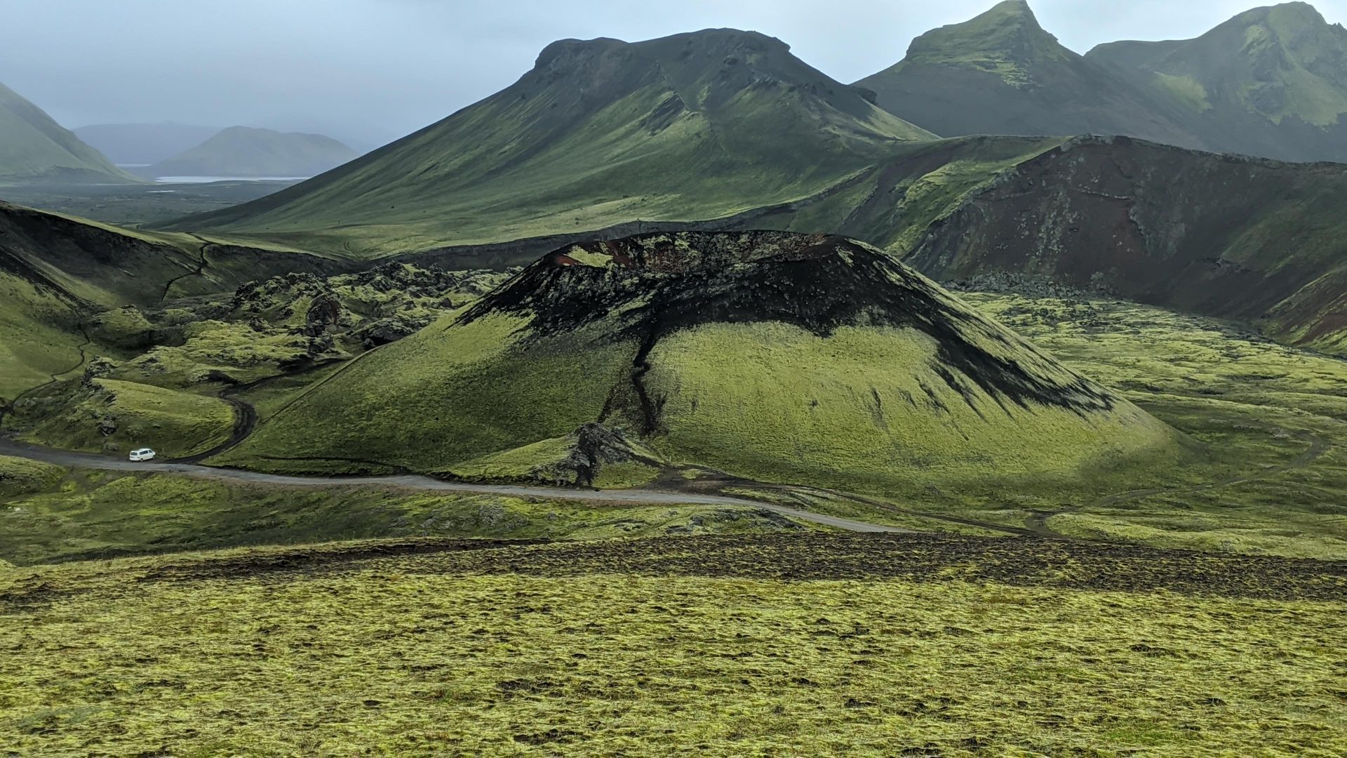
Iceland’s F-roads cross rough volcanic land and, in some places, unbridged rivers. You’ll need the right four-wheel-drive vehicle for the route you choose, and you’ll need to be ready to turn around if a river crossing looks unsafe or conditions change too quickly.
8. The Transfăgărășan, Romania
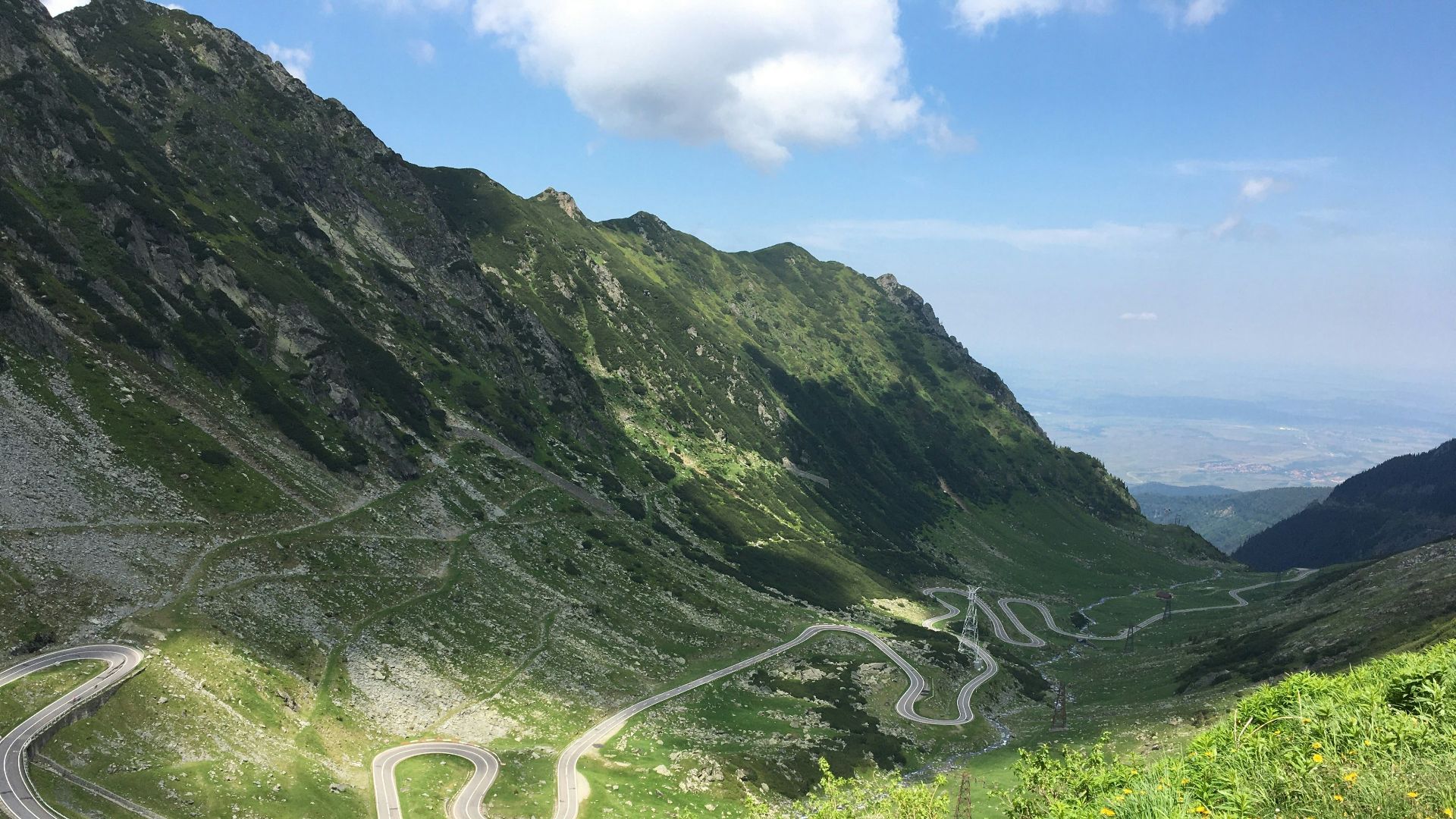
The Transfăgărășan runs 495 feet through the Făgăraș Mountains, reaching heights of 7,700 feet near Bâlea Lake. Its tight turns and quick climbs make it a memorable drive, especially when clear weather lets you see the road working its way down the mountain below.
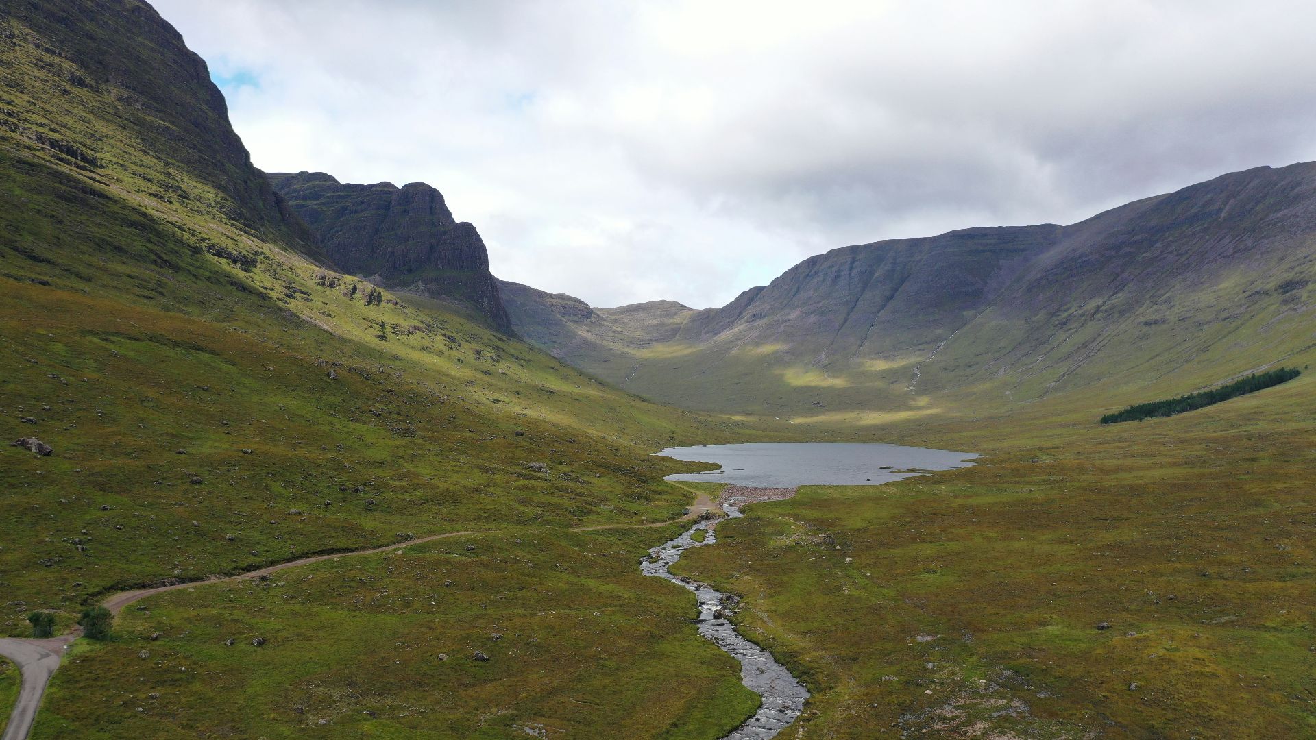
9. Bealach Na Bà, Scotland
Bealach na Bà, also called the Pass of the Cattle, climbs to 2053 feet on the way to Applecross in the Scottish Highlands. The road is narrow, the turns are steep, and the weather can shift fast, so you’ll definitely want to keep your speed low and your attention strictly on the road.
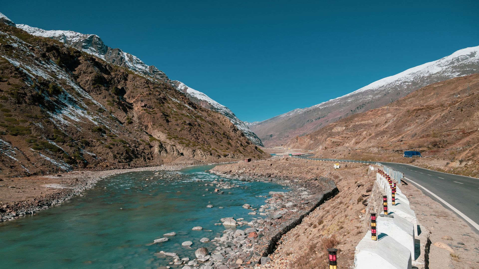
10. The Manali-Leh Highway, India
The Manali-Leh Highway goes from green Himalayan valleys into Ladakh’s dry, high-altitude landscape. It crosses several major mountain passes, including Tanglang La at more than 17,390 feet, so you’ll need a car that’s ready for the trip and time to adjust to the altitude.
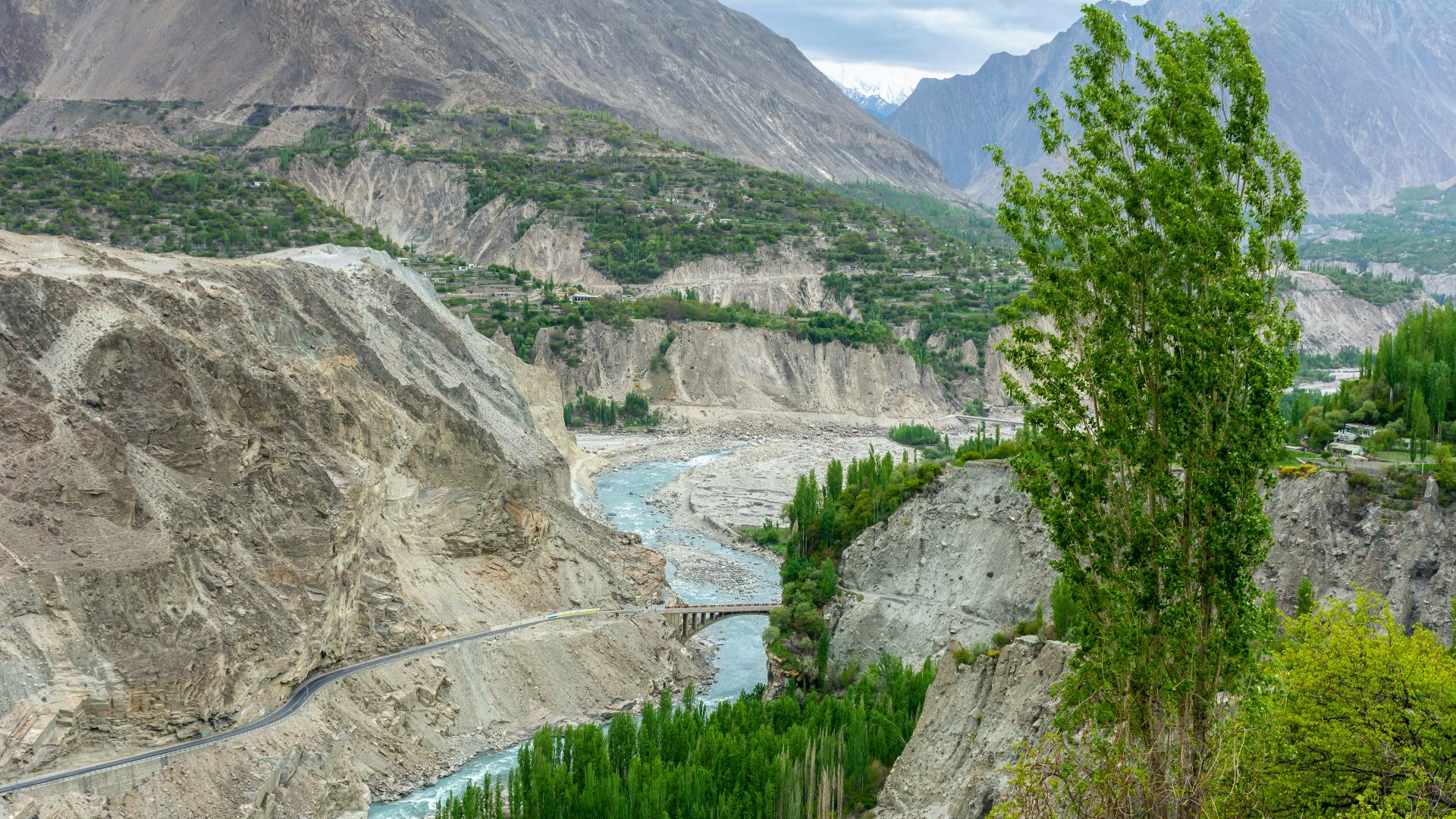
11. The Karakoram Highway, Pakistan
The Karakoram Highway runs through mountain country toward Khunjerab Pass on the Chinese border. The pass sits at more than 15,420 feet above sea level, and landslides, road conditions, altitude, and border rules can all affect how the trip unfolds.
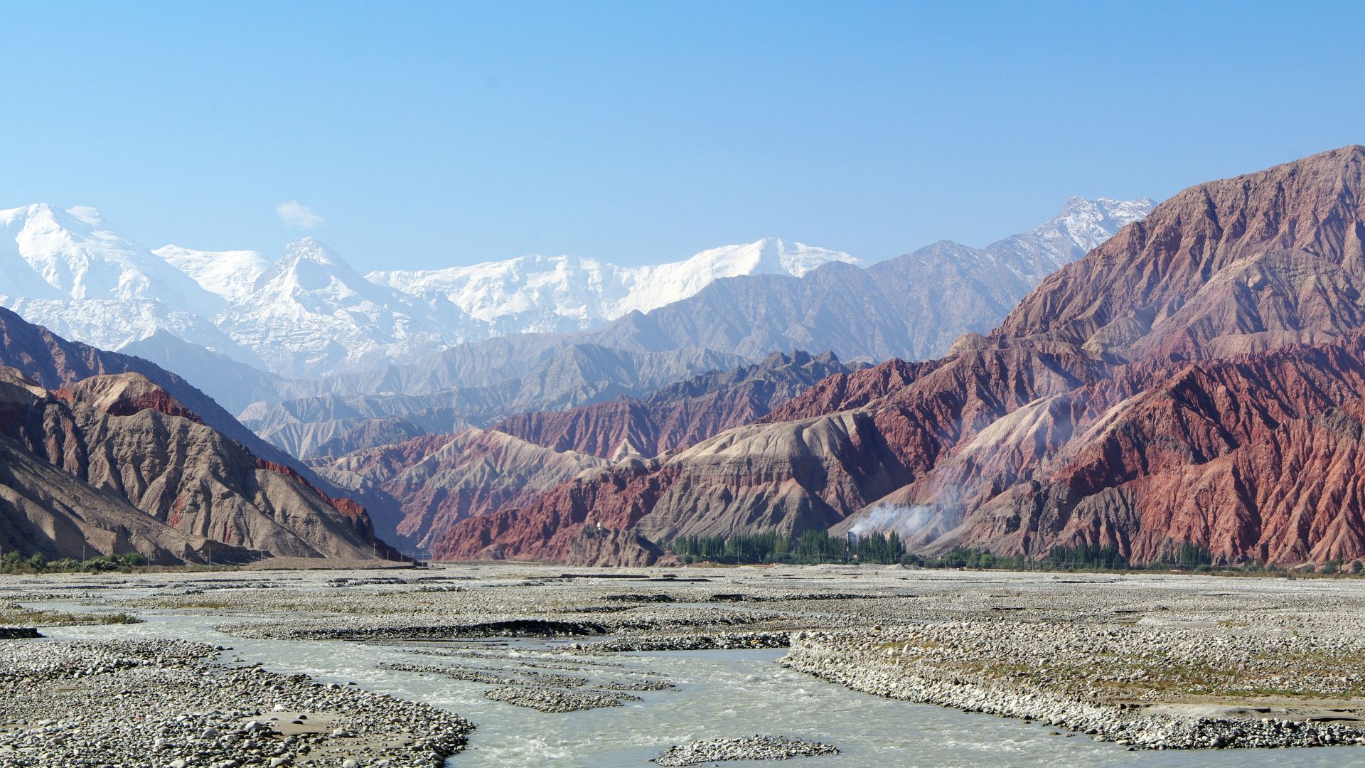
12. The Pamir Highway, Tajikistan And Kyrgyzstan
This high-altitude route is commonly traveled between Dushanbe and Osh, passing small settlements, wide valleys, and mountain passes. Road surfaces can change a lot from one stretch to the next, and services can be far apart, so the drive needs a flexible schedule and careful planning.
13. Sani Pass, South Africa And Lesotho
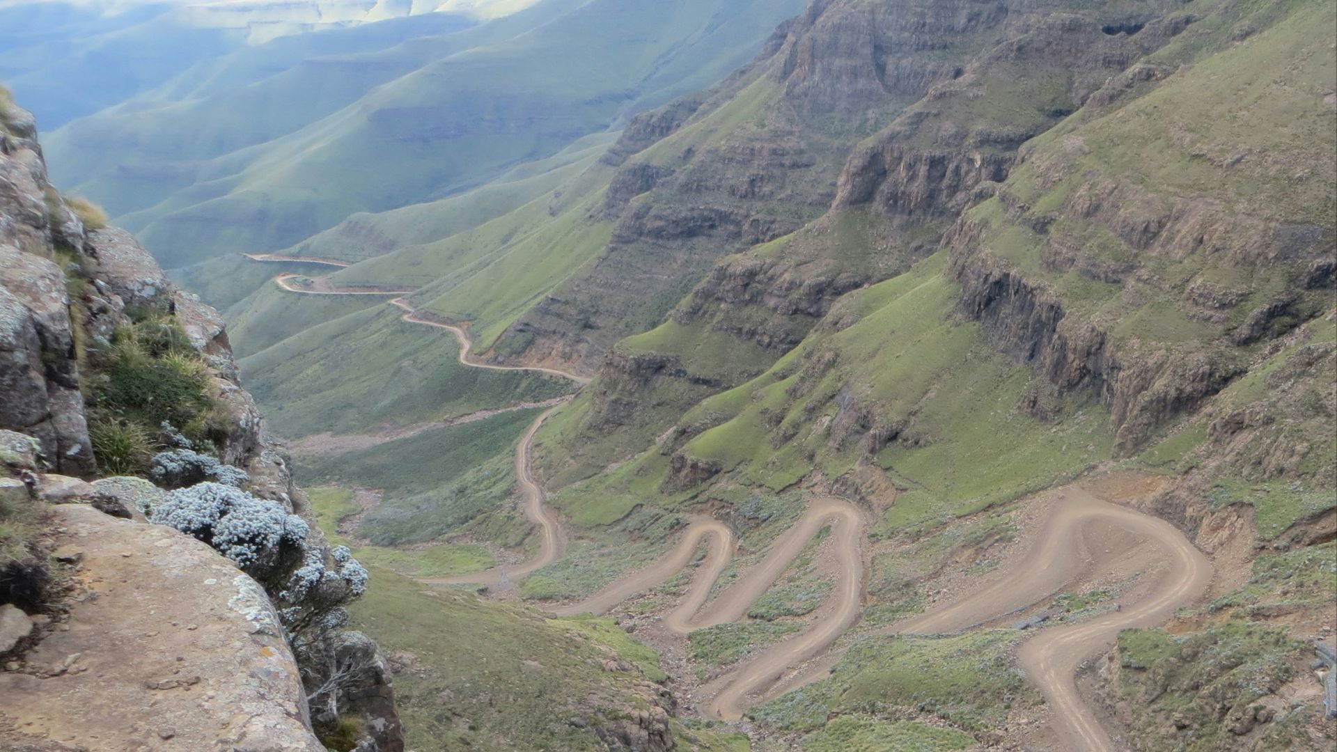
Sani Pass climbs through the Drakensberg toward Lesotho, with steep, narrow sections near the border. The upper part requires proper four-wheel-drive travel, and weather or border requirements can easily change your plans, even when you’ve done your homework.
14. The Skeleton Coast, Namibia
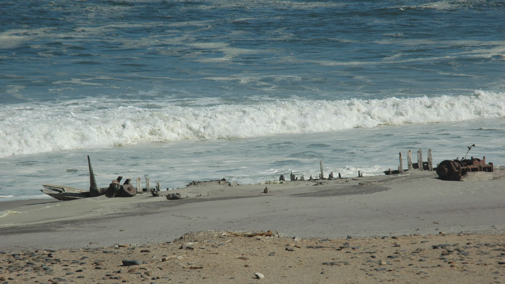
The Skeleton Coast Park stretches for about 310 miles along Namibia’s Atlantic shore, where fog and wind meet the desert. Long distances, isolation, and protected-area rules shape the drive, so you’ll need to stay organized, carry what you need, and stick to the route.
15. The Nossob 4x4 Eco Trail, South Africa
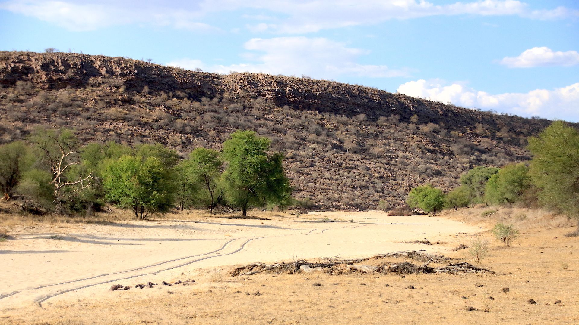
This 132-mile guided trail crosses Kalahari dunes between remote camps. It takes four days and three nights, requires at least two vehicles, and includes sand driving, wildlife awareness, camping, and long quiet stretches where the road feels far from everyday life.
16. The Canning Stock Route, Australia
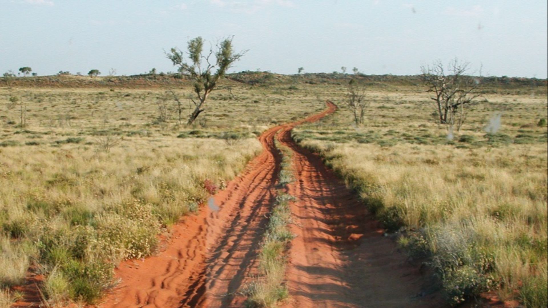
The Canning Stock Route is a multi-day desert trip across remote Western Australia. You’ll need permits, enough fuel and water, proper supplies, and respect for the Aboriginal lands the route crosses. This is a drive that needs preparation from the start.
17. The French Line, Simpson Desert, Australia
The French Line crosses the Simpson Desert through red dunes and wide open country. The tracks aren’t maintained, conditions can shift quickly, and you’ll need a Desert Parks Pass before entering, along with communication gear and smart tire management for the changing surface.
18. The Old Telegraph Track, Cape York, Australia
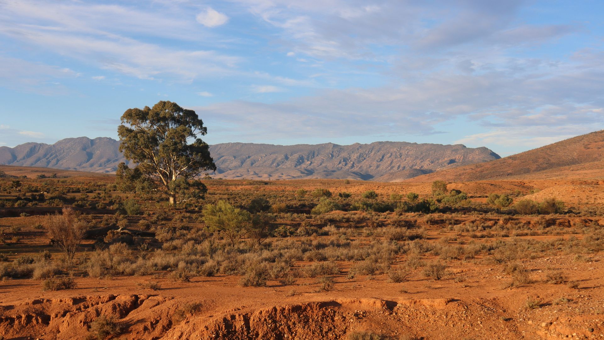
The Old Telegraph Track is known for deep ruts, washouts, creek crossings, and steep banks that can change after heavy rain. At Scrubby Creek near Eliot Falls, water can exceed one meter in places, so this route is best left to experienced four-wheel drivers.
 Michael Gallagher from Edinburgh, United Kingdom on Wikimedia
19. The Carretera Austral, Chile
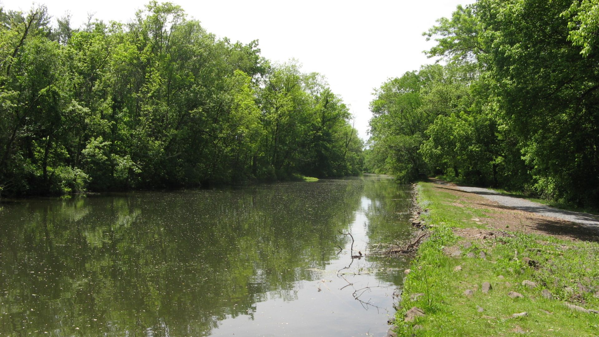
Chile’s Carretera Austral stretches for more than 745 miles through Patagonia’s forests, fjords, glaciers, and small towns. The challenge comes from the long distances and changing scenery, along with the simple fact that you’ll feel far from the usual day-to-day routine.
20. Paso San Francisco, Argentina And Chile
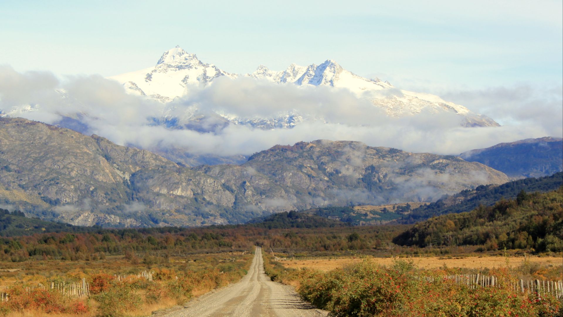
Paso San Francisco crosses the Andes between Argentina and Chile at 15,577 feet above sea level. Snow and whiteout conditions can close the route, so you’ll need to check the latest conditions and be ready to change plans when the weather has other ideas.