There's a particular feeling that hits the moment you crest a hill and see a cruiser parked on the shoulder facing traffic. The foot comes off the gas, the eyes drop to the speedometer, and you spend the next quarter mile calculating whether you were actually speeding or just felt like you might have been. That feeling, multiplied across millions of drivers, is not accidental. The spot was chosen on purpose, and there's a coherent logic behind where it is.
Traffic enforcement positioning is a mix of data, physics, habit, and institutional knowledge that most drivers never think about until it's too late. Officers learn from supervisors where the productive spots are. Departments track where crashes happen and direct enforcement there. And certain geographic features reliably produce the same result: drivers moving faster than the posted limit, often without realizing it. Once you understand the pattern, you start seeing the spots before the cars in them.
The Geography of Getting Caught
Speed changes naturally with terrain, and enforcement tends to cluster where physics does the work for the driver. The base of a long downhill grade is one of the most consistent locations for speed enforcement across the country, and the reason is straightforward. Drivers who don't actively manage their speed on descents frequently arrive at the bottom going significantly faster than they were at the top, often without pressing the accelerator at all. The grade does it for them. From a parked position at the bottom, an officer can clock multiple violators in quick succession.
Transition zones, where a higher-speed road feeds into a lower-speed one, produce a similar dynamic. The stretch of road immediately after a speed limit drops from 55 to 35 mph is enforced heavily because a meaningful percentage of drivers respond to limit changes with a gradual reduction rather than an immediate one. Federal Highway Administration research on driver behavior at speed limit transitions consistently shows lag time between the sign and the adjustment. That lag, measured in seconds, translates into a few hundred feet of documented violation.
Long straightaways after curves work differently but produce the same result. When a driver exits a curve and the road opens up, there's a natural tendency to accelerate without consciously deciding to. The straightaway feels like an invitation. Officers who park at the far end of those straightaways, ideally with some visual cover from a tree line or overpass shadow, are essentially fishing in well-stocked water. The behavior that fills their radar guns is built into how humans respond to road geometry.
When They're There and When They're Not
The end-of-month ticket quota is one of the most persistent beliefs in American driving culture, and the relationship between it and reality is genuinely complicated. Many states legally prohibit ticket quotas, and departments consistently deny that they set numeric targets. A 2013 Pew Research Center survey of nearly 8,000 US police officers found that 37% reported their department used some form of arrest or ticket quota, with the vast majority describing these as informal expectations rather than formal quotas. The practical effect on enforcement patterns, even without a formal mandate, was real.
Time-of-day patterns are more straightforwardly documented. The National Highway Traffic Safety Administration's data on fatal crash timing shows that speed-related fatalities spike during late night and early morning hours on weekends, which is part of why enforcement presence increases during those windows. Rush hour enforcement is a different calculation: congestion keeps speeds down on surface roads naturally, so speed enforcement often shifts toward highway corridors during commute hours, where traffic can still move fast enough to matter.
Weather is an underappreciated enforcement variable. Reduced visibility from rain or fog doesn't just make driving more dangerous; it also provides cover for patrol vehicles that would otherwise be visible from greater distances. Officers stationed in the median of a divided highway during overcast conditions are often visible for a fraction of the distance they would be on a clear day. That's not a coincidence.
How Technology Changed the Equation
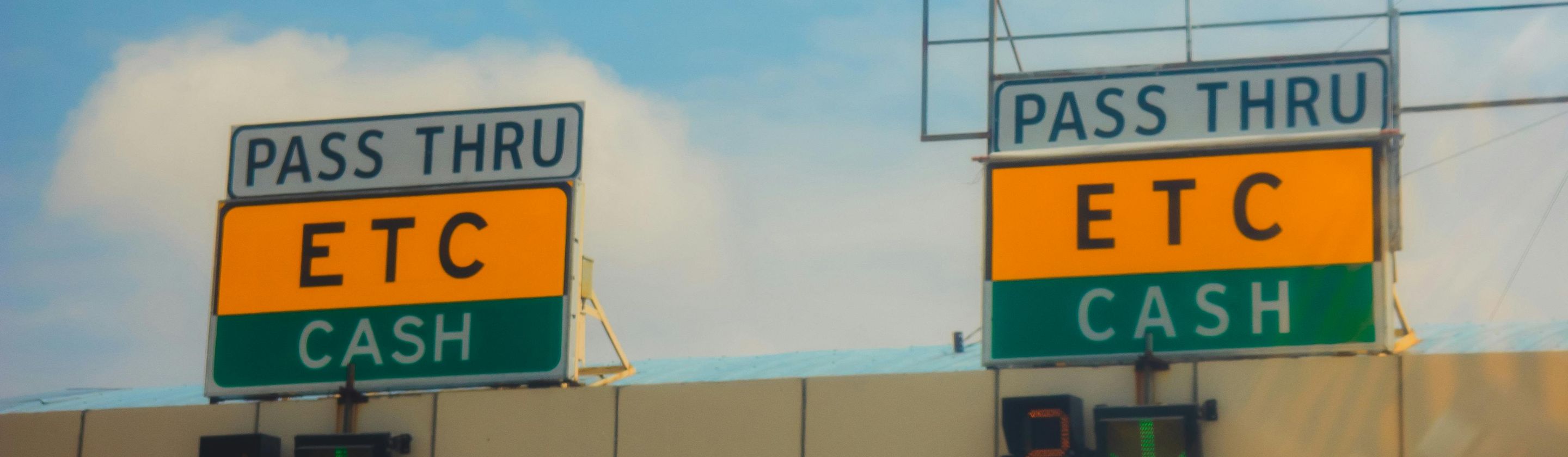
Fixed cameras fundamentally altered the enforcement map in cities that adopted them. Red light cameras are typically installed at intersections with documented collision histories, which is how their deployment is usually justified to the public, but speed cameras in school zones, work zones, and residential corridors operate on a different principle. They're permanently visible, they don't move, and they work continuously.
Automated license plate readers, mounted on patrol vehicles or fixed to infrastructure, have extended enforcement reach without requiring a parked cruiser at all. A reader-equipped car moving through traffic is passively checking every plate it passes against warrant and registration databases, which means the productive enforcement location is now anywhere that car happens to be. The geography still matters for radar and LIDAR enforcement, but the broader surveillance footprint of a modern patrol has expanded well past the bottom of the hill. Knowing where officers tend to sit is still useful. Knowing that the car next to you might be doing its own quiet version of the same thing is the newer part of the calculation.