Taking You To The World’s Lowest Places
Road trips usually bring to mind high places, whether you’re climbing a mountain road or stopping at a lookout. Some of the most memorable drives go the other way, taking you down into desert basins, salt-lake areas, and farmland that sits lower than the ocean. In some places, nature created the low ground. In others, people have spent years building dikes, canals, and pumps to keep the land dry. Road heights can change along the way, especially near bridges, ramps, and raised dikes, so these are stretches that go below sea level, not always the whole route. That’s what makes them so interesting, because you’re driving through places that don’t feel quite like anywhere else.
1. Badwater Road, Death Valley, California
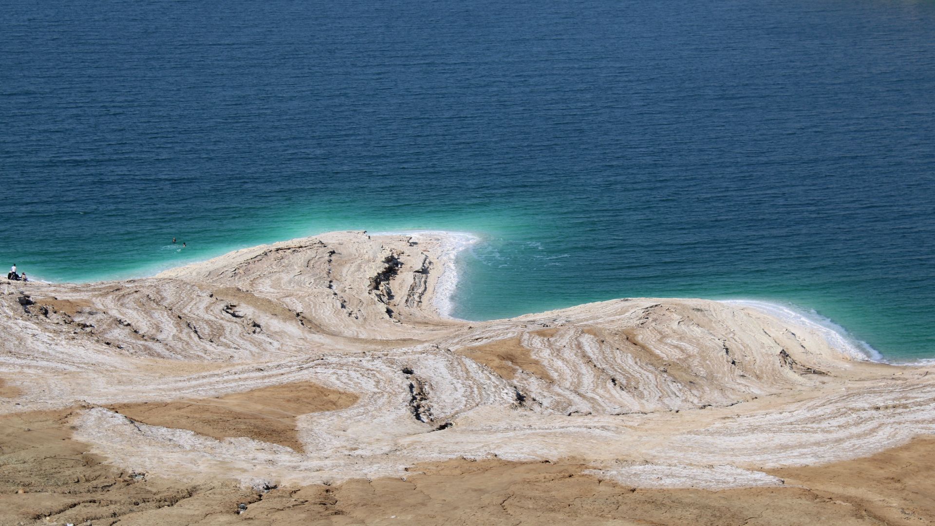
Badwater Road takes you to Badwater Basin, the lowest point in North America at 282 feet below sea level. The paved road runs through a wide salt basin with dark mountains all around it, so there’s plenty to look at before you even reach the main stop.
2. West Side Road, Death Valley, California
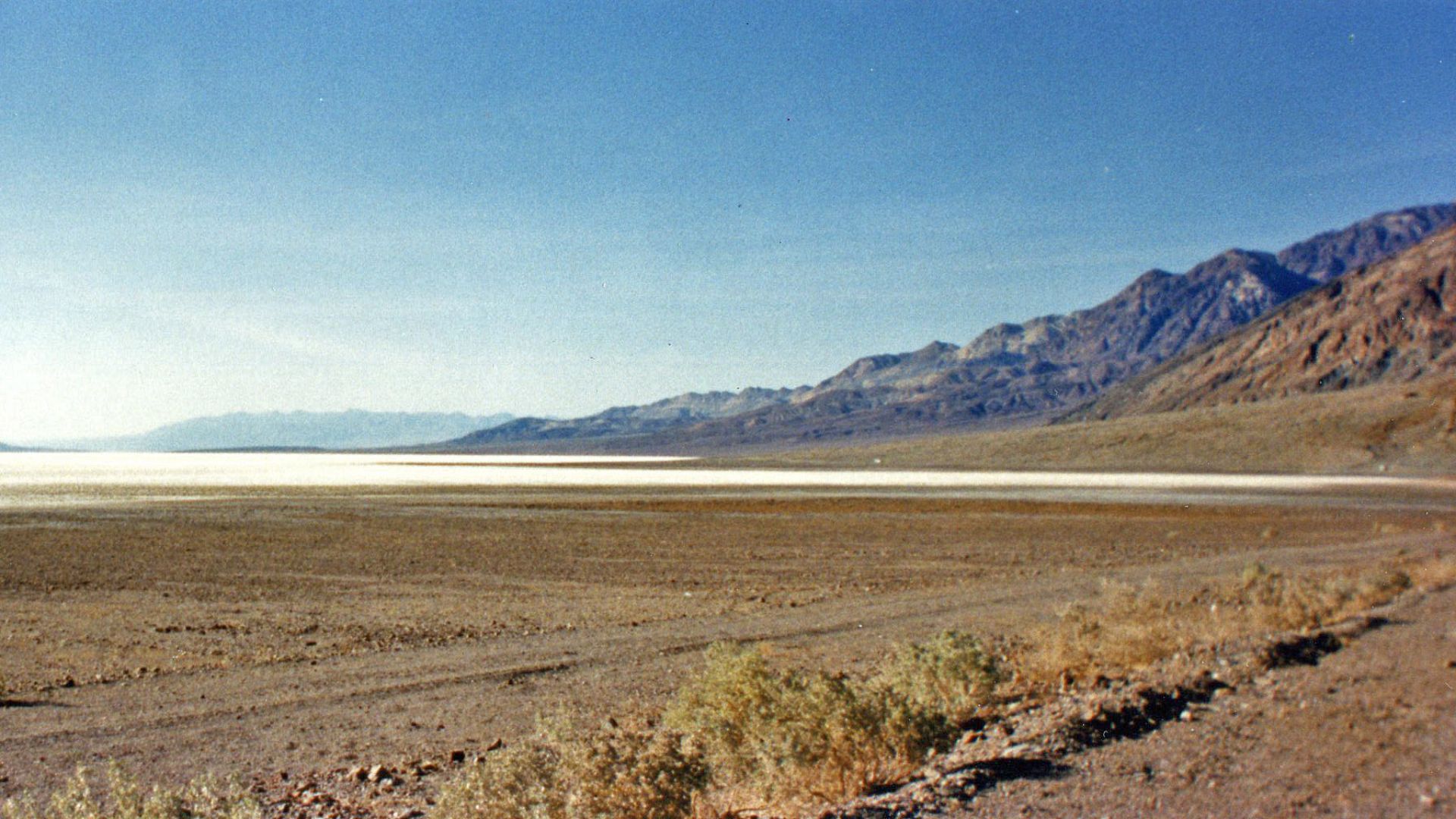
West Side Road runs along the western side of Death Valley’s low basin, roughly parallel to Badwater Road. It’s a graded road instead of a smooth highway, so the trip feels quieter and more remote once the open valley floor stretches out around you. You won’t find the same steady stream of stops and traffic here, which makes the long views feel even bigger.
 Bureau of Land Management California on Wikimedia
3. Artists Drive, Death Valley, California
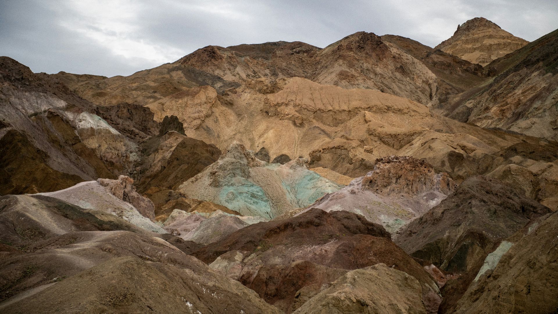
Artists Drive is a nine-mile, one-way loop with entrances on Badwater Road in the lower valley. The road climbs and bends through hills marked with greens, reds, purples, and pale yellows from the minerals in the ground.
4. Devils Golf Course Road, Death Valley, California
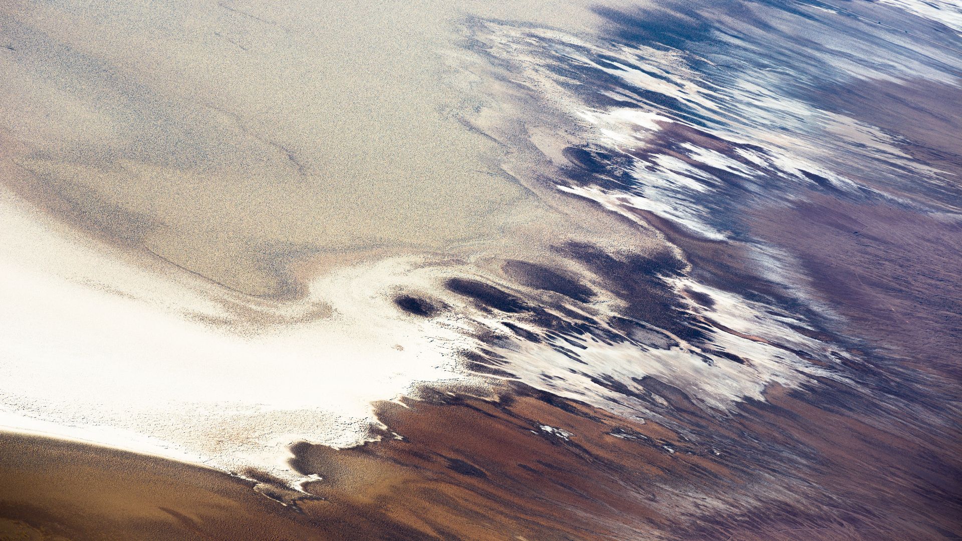
This unpaved side road branches off Badwater Road and heads toward the sharp salt formations at Devils Golf Course, reaching one of the valley’s lowest areas. The salt formations are up close and hard to miss, giving you a good look at one of Death Valley’s strangest sights.
 Andrew Smith from Seattle, WA, USA on Wikimedia
5. Natural Bridge Road, Death Valley, California
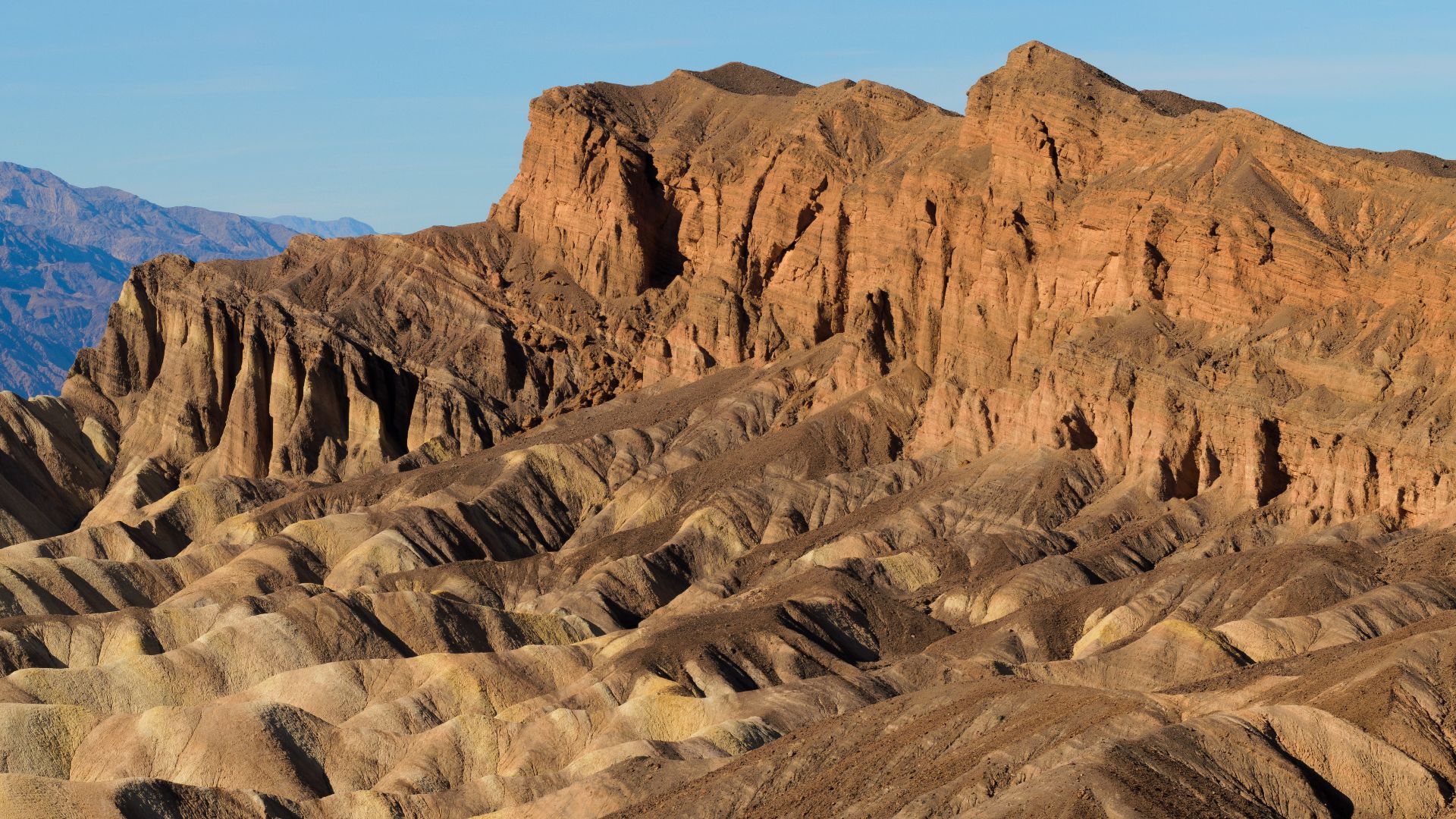
Natural Bridge Road leaves Badwater Road in the southern part of the basin and rises toward a trailhead. It’s short and unpaved, and it’s usually manageable when dry. It’s a handy choice if you’d like to leave the main road for a little while without turning the day into an off-road trip.
6. State Route 111, Bombay Beach, California
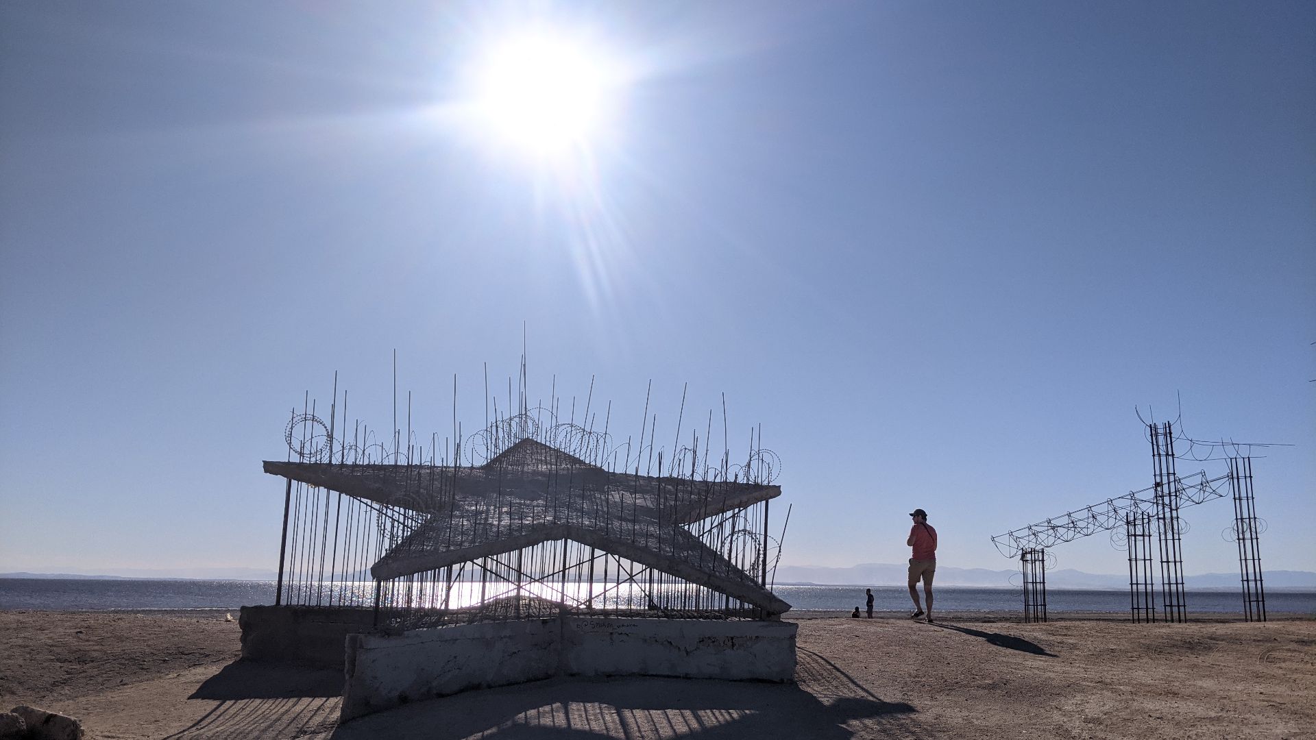
State Route 111 passes Bombay Beach on the eastern side of the Salton Sea, where the land sits more than 200 feet below sea level. The road goes by a shoreline community known for desert art and old resort remains, and the area doesn’t feel much like the California most people picture.
7. State Route 86, Westmorland, California
State Route 86 runs through Westmorland, an Imperial Valley community that sits well below sea level. Fields and canals line much of the road, so it feels more like a working route than a typical scenic drive. The valley is so flat that you can really take in how wide and low the land around you is.
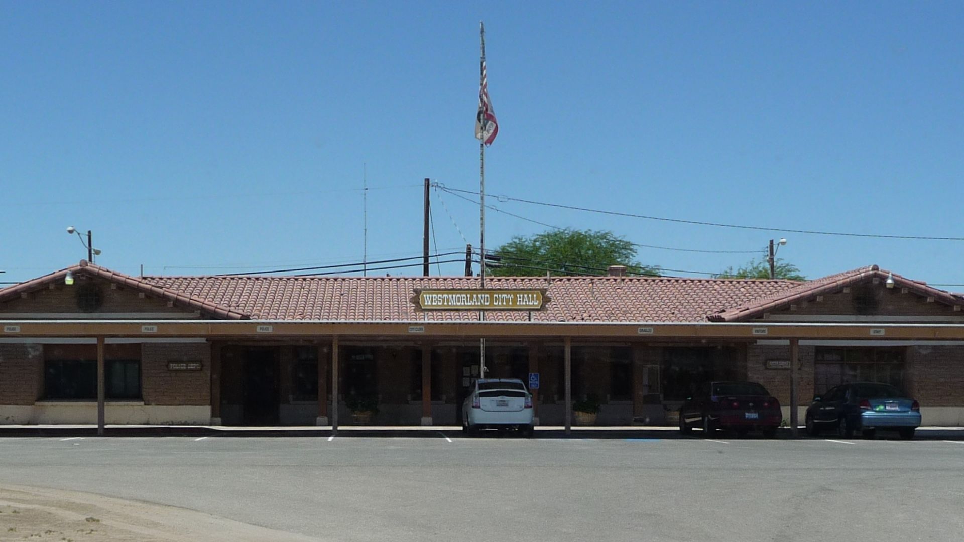 Daniel Mayer (mav) on Wikimedia
8. State Route 115, Calipatria, California
State Route 115 serves the Calipatria area, one of the least-developed parts of Imperial Valley. It’s a regular local road, which makes the setting a little more surprising.
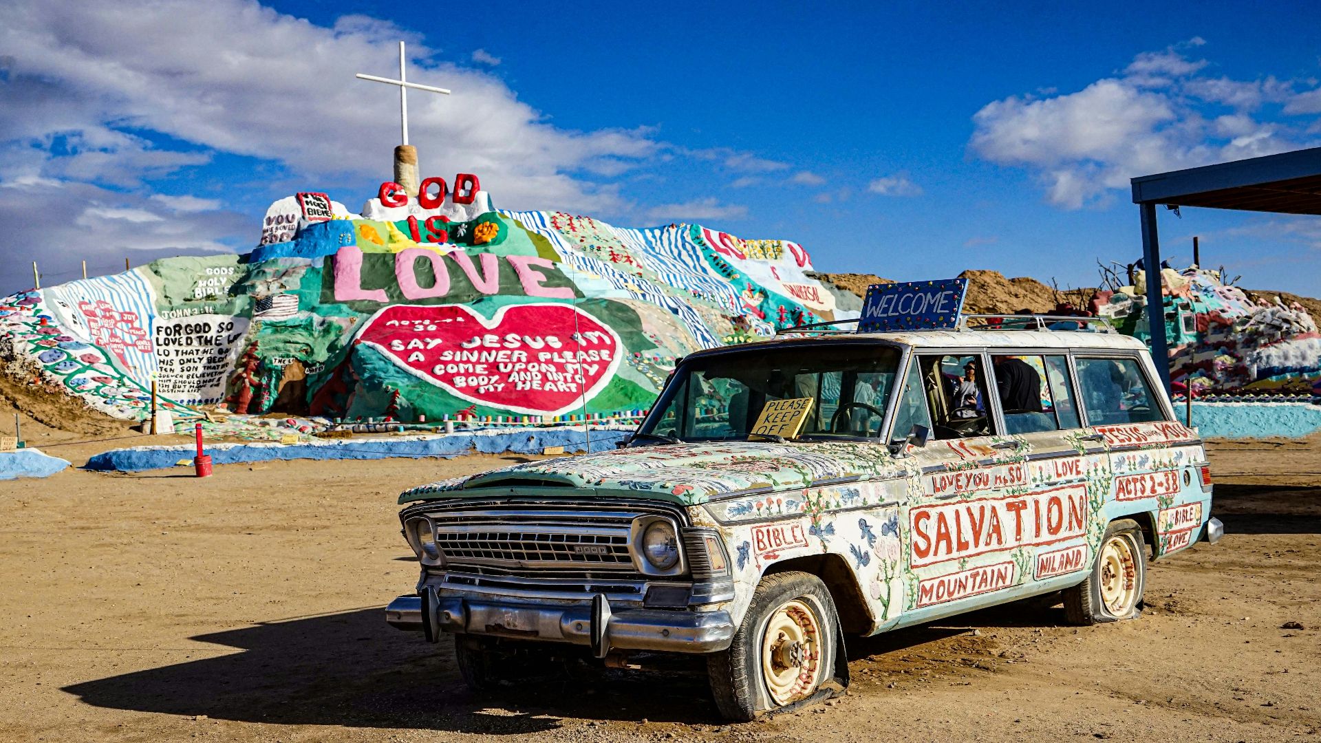
9. State Route 78 Near Brawley, California
State Route 78 crosses the lower Imperial Valley near Brawley and the southern end of the Salton Sea. The road passes through a broad desert plain where irrigation systems, farmland, and heat haze fill the view.
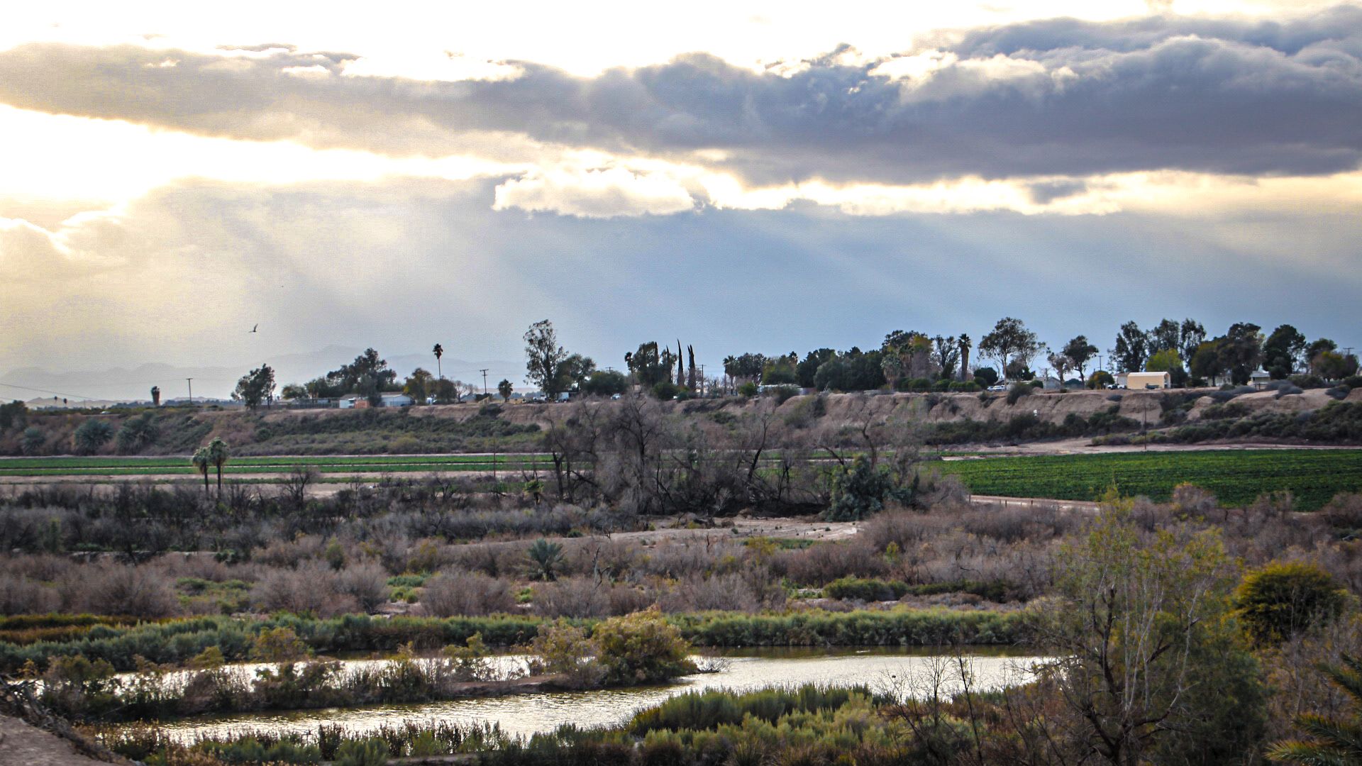
10. Interstate 8, El Centro, California
Interstate 8 runs through El Centro, where freeway-level driving drops below sea level. It’s one of the simplest places to experience this because, surprisingly, you’re still on a major interstate.
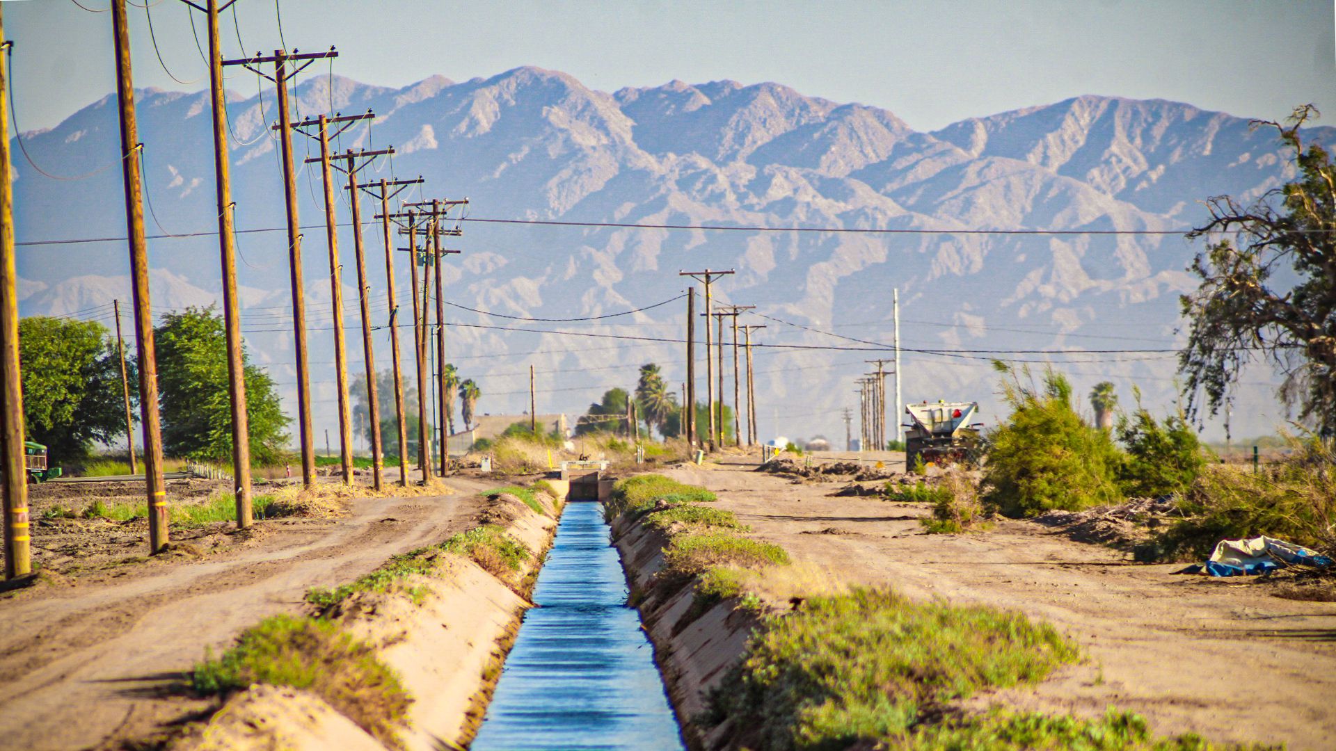
11. A6 Motorway, Flevoland, Netherlands
The A6 crosses Flevoland, a province built on land reclaimed from the former Zuiderzee. Its lower sections run through low farmland called polders, with canals, pumping stations, and dikes nearby to help keep the land dry. It’s a modern motorway drive, though the land around it makes you notice just how much work goes into keeping the area usable.
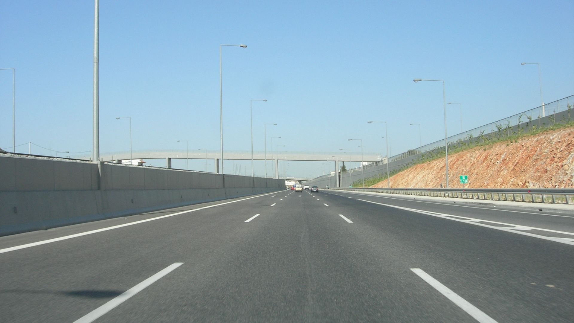 Original uploader was Jimzoun at en.wikipedia on Wikimedia
12. N305 Gooiseweg, Flevoland, Netherlands
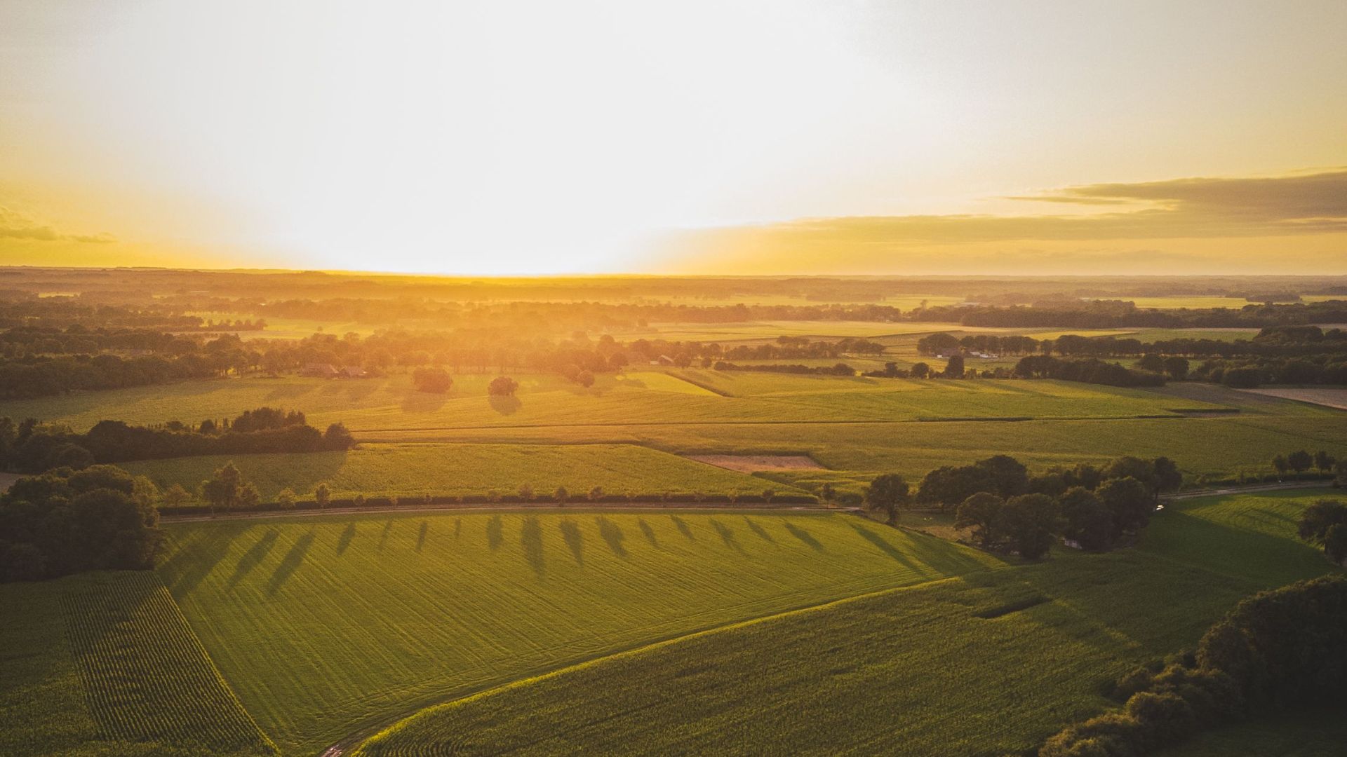
The N305 travels through the open reclaimed land around Almere and Zeewolde. It’s a smooth, everyday road through fields and canals, and the water-control systems around it are part of the view almost the whole way. You’ll get a calm, open drive through a place where the land has been carefully planned and maintained.
13. N302 Ganzenweg, Flevoland, Netherlands
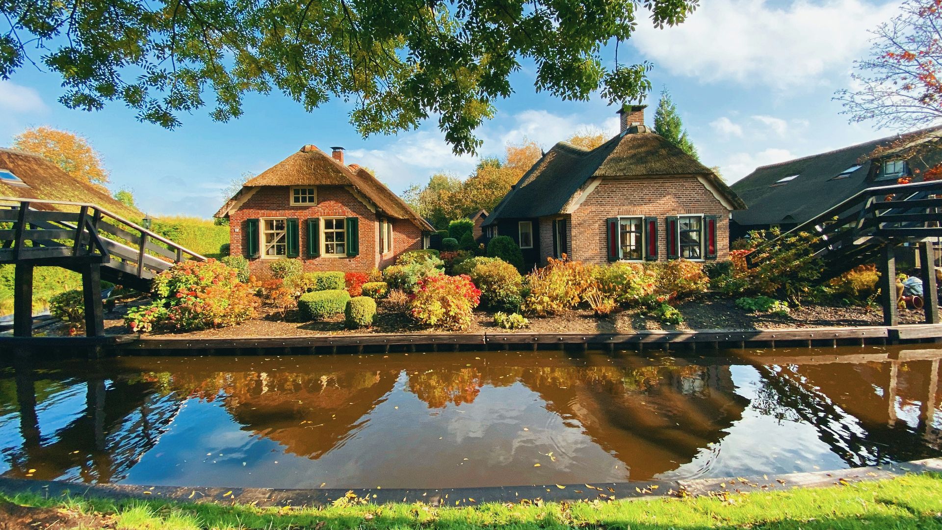
N302, also called Ganzenweg, passes through central Flevoland’s low farmland. The road is long and straight, and the wide fields and low horizon make it easy to see how the region is laid out. The scenery doesn’t rush by, so you’ve got time to notice the canals and open land.
14. N705 Spiekweg, Flevoland, Netherlands
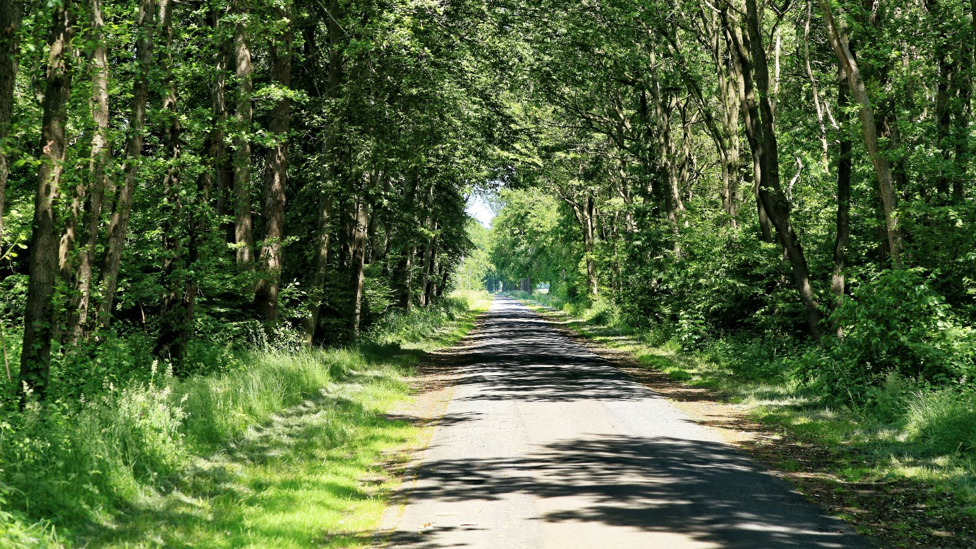
Spiekweg runs near Zeewolde through southern Flevoland’s reclaimed countryside. It’s a quieter road, with drainage channels, farmland, and wide skies doing most of the work. The drive feels very ordinary in the best way, even though keeping the surrounding land dry takes a great deal of care.
15. N306 Harderbosweg, Flevoland, Netherlands
N306 runs through the low-lying Flevoland landscape near Dronten and Harderwijk. You’ll see roads, farms, canals, and water-control features sitting close together, all doing their part.
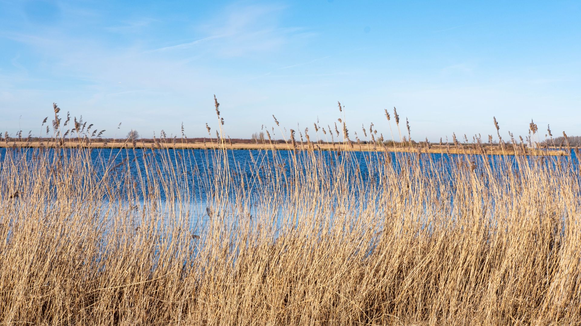
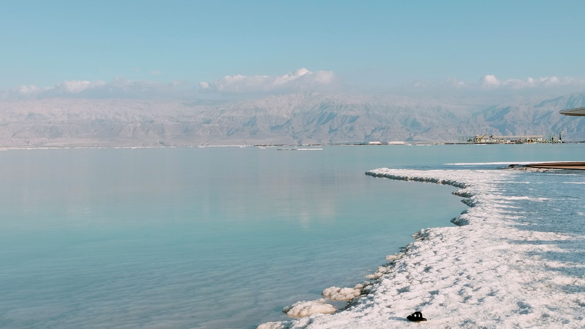
16. Highway 90, Dead Sea Section
Highway 90 follows the western side of the Dead Sea through some of the lowest drivable land on Earth. Saltwater, dry valleys, and steep desert cliffs line the road, so the scenery stays interesting even during longer stretches behind the wheel.
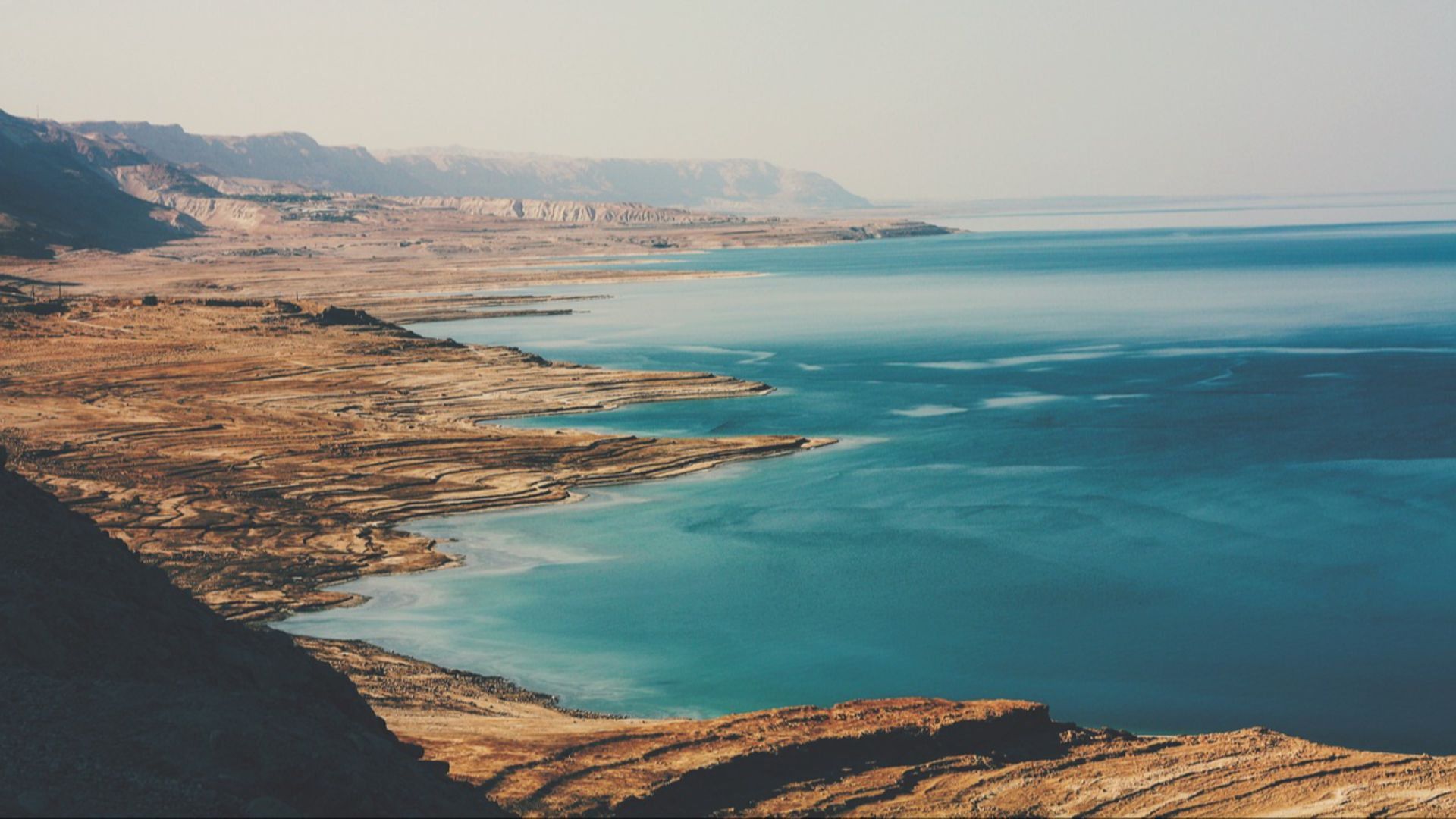
17. Highway 1’s Dead Sea Approach
Highway 1 heads east toward its junction with Highway 90 near the Dead Sea. The final stretch takes you from the higher ground around Jerusalem into the rift valley, where the road drops far below sea level. You’ll feel the change as the land becomes drier, more open, and much lower than the roads you’ve just left behind.
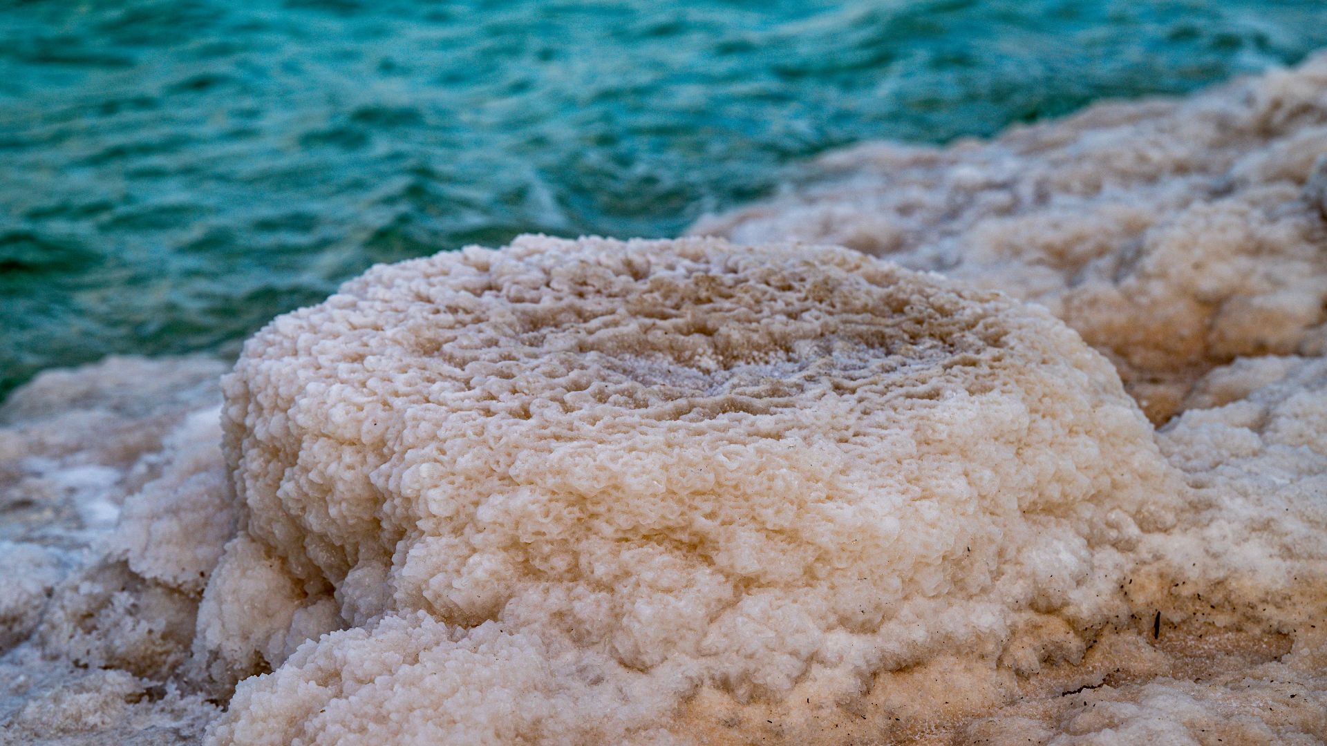
18. Route 31 Near Ein Bokek
Route 31 drops from the Arad area toward the southern Dead Sea basin near Ein Bokek and Neve Zohar. It’s a good route for seeing how quickly the landscape changes as you head down toward the Dead Sea.
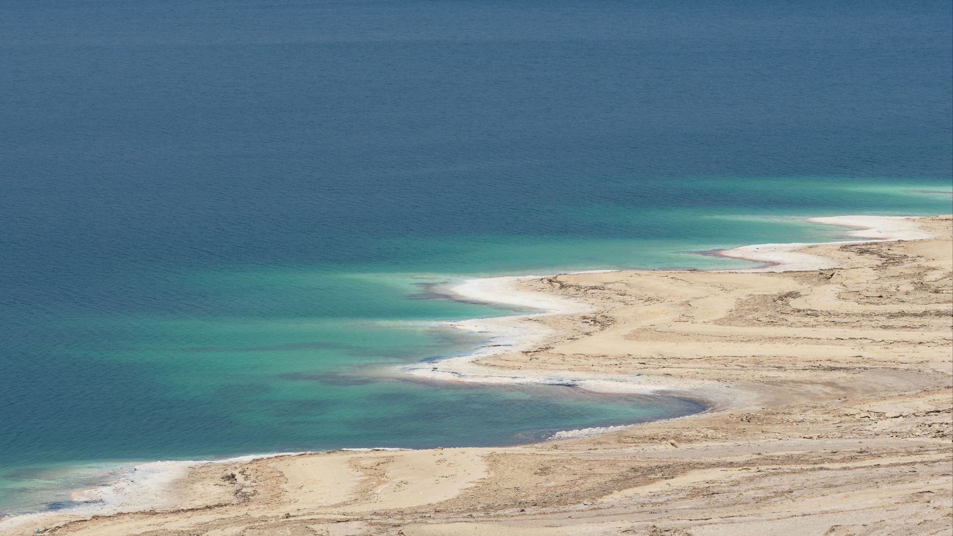
19. Highway 65, Jordan’s Dead Sea Shore
Highway 65 follows the eastern side of the Dead Sea, with long stretches far below sea level. The road gives you views of the water on one side and high desert cliffs on the other, so there’s plenty to take in even when the drive itself stays fairly direct. It’s one of those highways where the location stays with you as much as the road does.
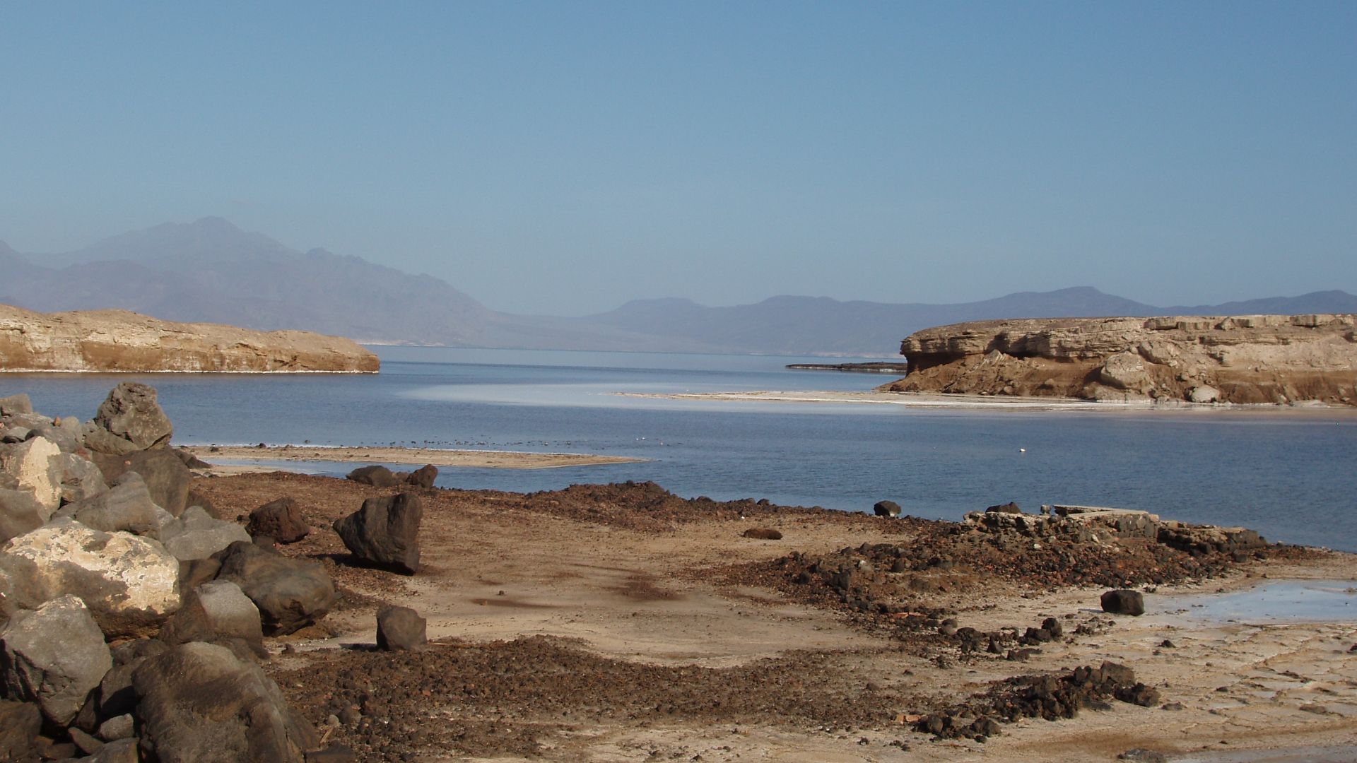
20. Lake Assal Access Road, Djibouti
The access road to Lake Assal drops into Africa’s lowest land depression, more than 150 meters below sea level. White salt flats, dark lava fields, and intense desert heat surround the road near its end.